
Kitselas Watershed Assessment Tool
Kitselas First Nation
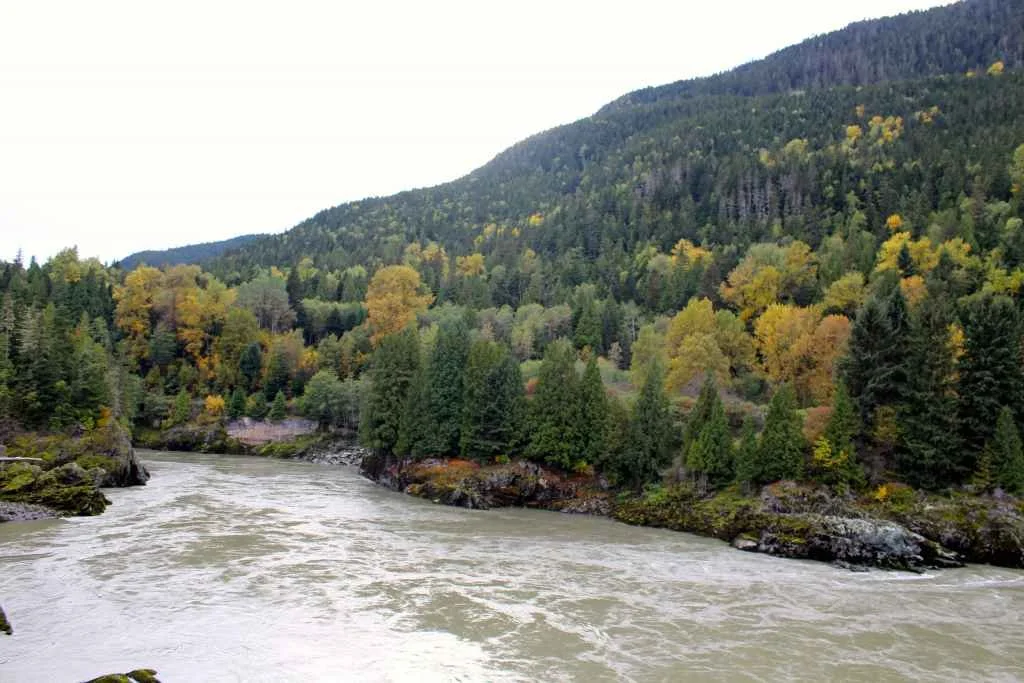
Photo: Kitselas Canyon via Coast Funds
The purpose of this project is to better understand the impacts of climate and land use change on important sub-watersheds within the Kitselas Traditional Territory. Kitselas First Nation are working to identify cumulative effects, including climate change, on air, land, and water as priorities. The Kitselas Lands and Resources Department (KLRD) incorporates these considerations into planning processes. This project aims to understand climate and land use impacts on sub-watersheds within the Kitselas Traditional Territory. The objective is to develop a watershed management tool, supporting decision-making on future land use. Three main goals include developing the "Kitselas Watershed Assessment Tool," incorporating "Restoration Report Cards" and monitoring plans, and piloting a program using drone-based remote sensing for data collection. Currently, centralized information on changes in watershed characteristics and key values against cumulative disturbances is unavailable. The "Kitselas Watershed Assessment Tool" will be a foundational geospatial tool enhancing Kitselas First Nation’s consultation and stewardship planning, guiding decisions on permitting, protection, restoration, and monitoring actions led by Kitselas.
CATEGORY
Watershed Monitoring and Assessment
WATERSHED(S)
Skeena, North & Central Coast, Nass
GRANT AMOUNT
$ 257,600
RELATED ARTICLES